Iowa Crop Progress and Conditions Report
Dec. 2 - 8, 2019
DES MOINES, Iowa (Dec. 9, 2019) – Iowa Secretary of Agriculture Mike Naig today commented on the Iowa Crop Progress and Conditions report released by the USDA National Agricultural Statistics Service.
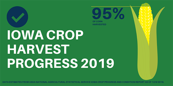
“Warmer and dryer conditions over the past week allowed farmers to make significant progress in the field,” said Secretary Naig. “With corn harvest at 95%, Iowa is nearing the end of harvest 2019.”
The weekly report is also available on the USDA’s website at nass.usda.gov.
Crop Report
Iowa farmers had 4.5 days suitable for fieldwork during the week ending December 8, 2019, according to the USDA, National Agricultural Statistics Service. However, snow and mud remained issues in parts of the State and delayed some fieldwork.
Ninety-five percent of the corn for grain crop has been harvested, over two weeks behind last year and the 5-year average. The Northeast and South Central Districts were able to make enough progress to reach at least 90 percent complete. Farmers in all Districts in Iowa have now completed at least 90 percent of their corn harvest for grain. Moisture content of field corn being harvested for grain remained at 19 percent. Livestock producers continued to use hay for supplemental feeding. Feedlots stayed muddy with warmer temperatures and snow melt this past week.
Weather Summary
Provided by Justin Glisan, Ph.D., State Climatologist, Iowa Department of Agriculture and Land Stewardship
Iowa experienced a quiet week of weather with unseasonably dry conditions statewide. Many stations in western Iowa reported no measurable precipitation while isolated locations in the north-central corridor observed totals over one-quarter of an inch; this was the driest week of the extended reporting season. Warmer than average temperatures also prevailed with positive departures of up to six degrees reported. Iowa’s average temperature during the reporting period was 32.6 degrees, 6.3 degrees above normal.
A strong low pressure system continued to move out of northeastern Iowa through Sunday (1st) afternoon. Gusty northwesterly winds and overcast conditions persisted through the day as highs remained in the upper 20s across northern Iowa and lower 30s across the rest of the state. Precipitation totals were generally under a tenth of an inch though nine stations reported higher totals ranging from 0.12 inch in Creston (Union County) to 0.46 inch in Stanley (Buchanan County). Snow fell across parts of central and eastern Iowa with very light accumulations; Fort Dodge (Webster County) reported the highest total of one inch. The previous 24 hours ending at 7:00 am on Monday (2nd) was the only period in which precipitation fell for the entire reporting period. Cloud cover gradually cleared throughout the day as winds shifted to a southerly direction by evening.
High temperatures peaked in the middle 30s while overnight lows into Tuesday (3rd) dipped into the upper 20s and low 30s. Sunny skies persisted throughout the day with quite the range of high temperatures; northern Iowa stayed in the mid 30s while southern Iowa reached into the mid 50s, 10 to 15 degrees above average. The statewide average high was 48 degrees, 12 degrees above normal. Morning lows, in the upper 20s to mid 30s, were also on average nine degrees above normal.
Wednesday (4th) was another sunny and unseasonably warm day with temperatures reaching into the mid to upper 50s across the state’s southern half. A weak cold front pushing through northwestern Iowa later in the day began dropping temperatures into the upper 30s and lower 40s. As with Tuesday, the statewide average high was 12 degrees above normal, at 48 degrees. Behind the front, morning lows into Thursday (5th) dropped into the 20s under clear skies.
Temperatures again were warmer than average, though cooler than the previous two days. A dome of high pressure over the Dakotas propagated towards Iowa into Friday (6th) clearing out cloudy conditions that existed overnight. Cooler conditions were reported across the state with highs in the upper 20s north to low 30s south. Blustery southerly winds and clear skies boosted temperatures on Saturday (7th) into the 40s. The overnight hours into Sunday (8th) were warmer than normal as the average statewide low was 27 degrees, 11 degrees above normal.
Weekly precipitation totals ranged from no accumulation at numerous stations to 0.46 inch in Stanley (Buchanan County). The statewide weekly average precipitation was 0.02 inch, while the normal is 0.33 inch. The week’s high temperature of 61 degrees was reported on the 5th in Osceola (Clarke County), 24 degrees above normal. The week’s low temperature of 4 degrees was reported on the 2nd at Estherville Municipal Airport (Emmet County), 11 degrees below normal. Soil temperatures as of Sunday were generally in the mid 30s north to low 40s south.
